
Official data from seven countries
Airspace, reporting points, airways, obstacles and aerodrome information come from each country's own AIP and are updated every AIRAC cycle.
Weather, airspace, charts and planning for VFR and IFR flying — on one map, from the first look at the weather to the logbook entry. Free, and it runs in your browser.
Free · No install · Phone, tablet and desktop · Works offline
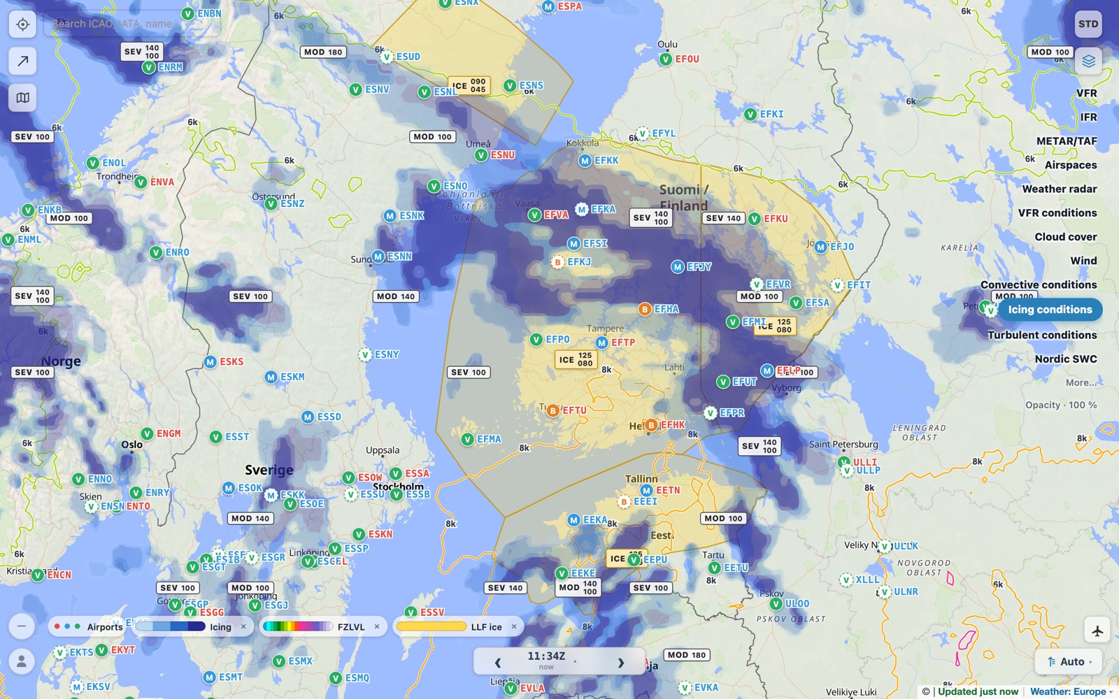
A short introduction to the app: the map, the weather, airspace, the briefing and the flight plan. 7:42.
One app for the whole flight — no more switching between a dozen websites before you go.
Tap the route on the map or type it. Times, winds, fuel and weight & balance follow.
Weather, NOTAMs and airspace for each leg at the time you fly it — on screen or printed.
Moving map with course guidance, the next frequency, and your position on the aerodrome chart.
The flight goes into your pilot logbook and the aircraft log — no separate spreadsheets.
Not a global app with the Nordics added later. The data you would otherwise collect from national sites is already on the map.
Airspace, reporting points, airways, obstacles and aerodrome information come from each country's own AIP and are updated every AIRAC cycle.
The Nordic low-level forecast (LLF) and the Nordic SWC drawn on the map, weather radar and lightning, and one 7 km forecast for clouds, icing, turbulence and wind.
Restricted and danger areas and TSA/TRA reservations show whether they are active now or later today — from NOTAMs and the daily airspace use plan.
One tap turns the map into a VFR chart or an IFR enroute chart, with the right layers and settings already in place.
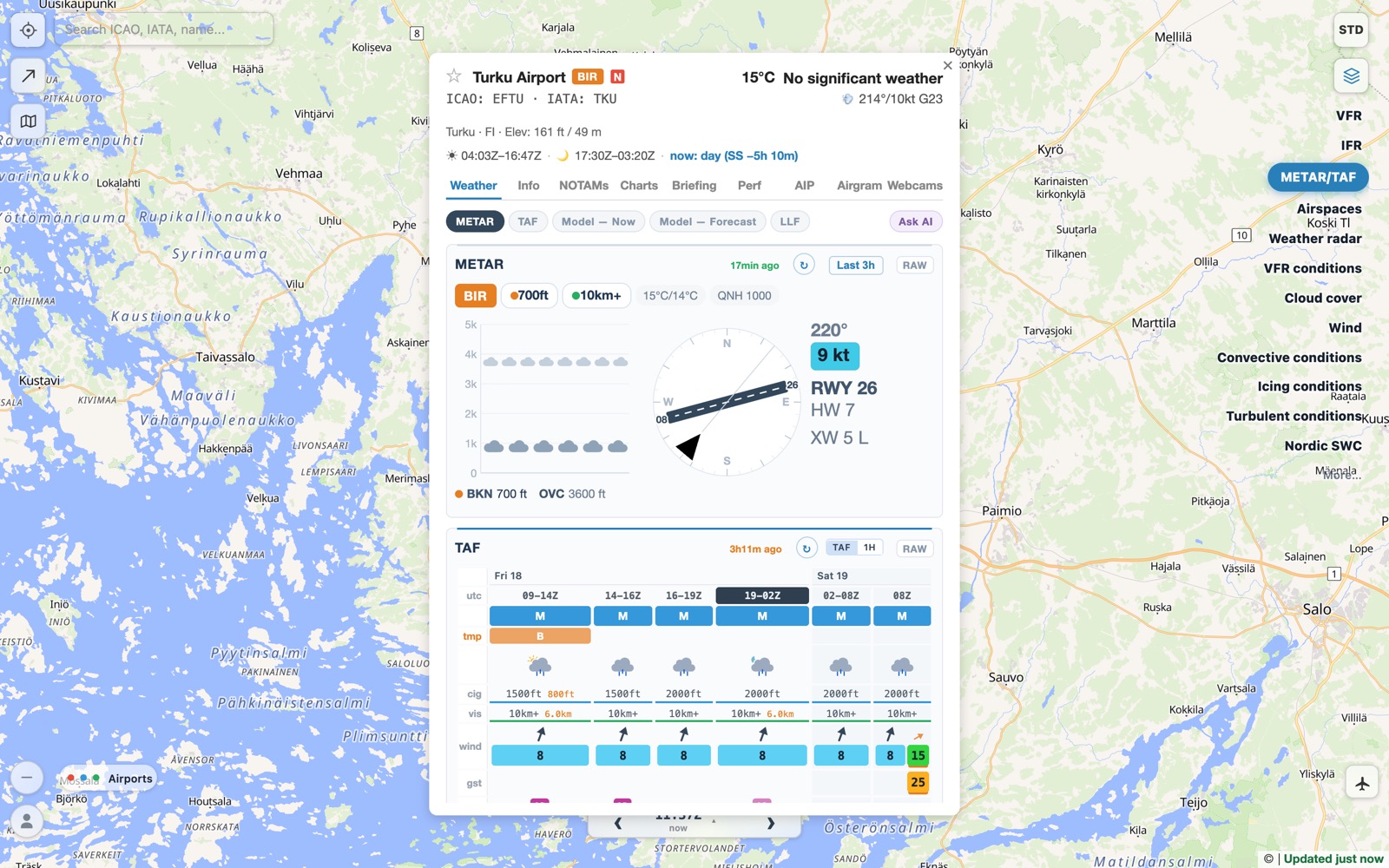
METAR, TAF and the model forecast in one table, the wind drawn on the runway, NOTAMs, charts, frequencies and opening hours. An Ask AI button explains a METAR, TAF or NOTAM in plain language.
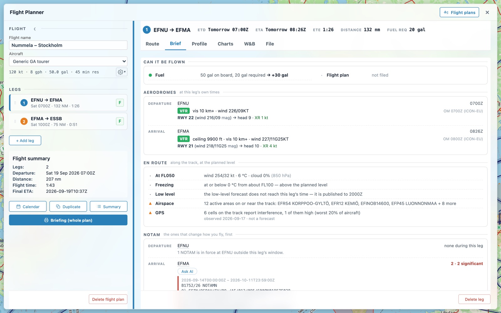
Legs, departure times, winds at your level, fuel on board and reserve — and a brief for each leg that answers the first question: can it be flown?
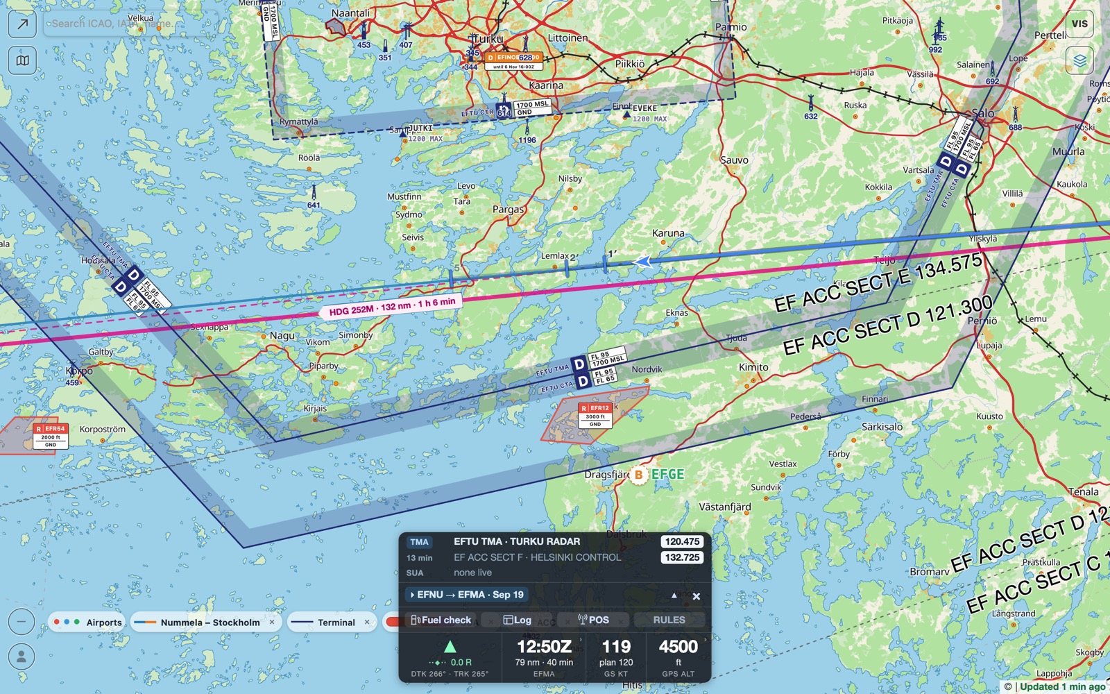
Follow your flight on the map with course guidance, see which airspace comes next and its frequency, and log your times. Try it on the ground with a demo flight.
Prepare Flights is for general aviation pilots — VFR and IFR, private owners, club members and flight school students — who fly in the Nordic and Baltic countries and want a fast, complete picture before every flight.
Yes. Prepare Flights is free to use while it is being developed, and it has no ads.
Not to look around. The map, weather, airspace, NOTAMs and airport information work without an account. A free account — Google or an email link, no password — opens the flight planner, logbooks and offline packs, and keeps your flights and settings in sync across your devices.
Coverage is deepest in Finland, Sweden, Norway, Denmark, Estonia, Latvia and Lithuania, where airspace, reporting points and aerodrome data come from each country's own AIP. Airspace covers the rest of Europe too, and weather and more than 22,000 airports cover the whole world.
Both. One tap switches the map between a VFR chart and an IFR enroute chart, and the weather layers show conditions at the level you fly.
Yes. Install it to your home screen and it opens without a network. Flights departing within three days are packed automatically with weather, NOTAMs, charts and map, and you can download whole countries for flying without a plan.
Yes, through your own autorouter.aero account: IFR and VFR plans, status tracking, and a reminder to close a VFR plan after landing.
Those are established navigation apps with wide coverage. Prepare Flights focuses on flying in the Nordics: it runs in a browser, is free, and puts Nordic products — the LLF, the Nordic SWC and national AIP data — on one map. It also works well alongside the navigation app you already use.